As we transition into spring, our hiking genes kick in. We think not only of our favorite two-hour hikes, but also of those hikes that present a greater challenge, that will prepare us for the epic mountain hikes we hope to take this summer, whether in our own Southern Appalachians or beyond.
We’re all about challenges this year, and are keen on the hikes near home that offer good preparation: Lots of distance, with as much elevation as you can find near the Piedmont’s metro areas. Here’s a look at five of our favorite challenging trails.
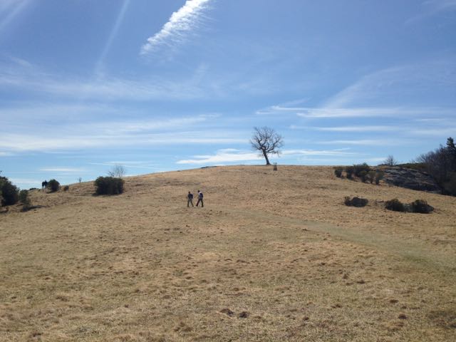
1.Uwharrie Trail, Sections 4-7 (NC 109 to King Mountain Road/Joe Moffitt Trailhead).
11.4 miles.
Uwharrie National Forest
Asheboro
Point-to-Point (shuttle)
People scoff at the Uwharries — until they hike ‘em. The relic mountain range tops out at just over 1,000 feet, but located as it is in the low-lying Piedmont, that can result in climbs gaining up to 500 vertical feet in a relatively short distance. And on this particular stretch of the Uwharrie Trail, the trail is constantly going up or down. As training hikes go, this is one of the best. You can build up to the whole 11.4 miles by starting with the NC 109 to Tower Road Stretch (6.3 miles), or continuing on to the Jumping Off Rock Trailhead on Flint Hill Road (8.3 miles). This is also one of the rockier trails around. Shuttle required.
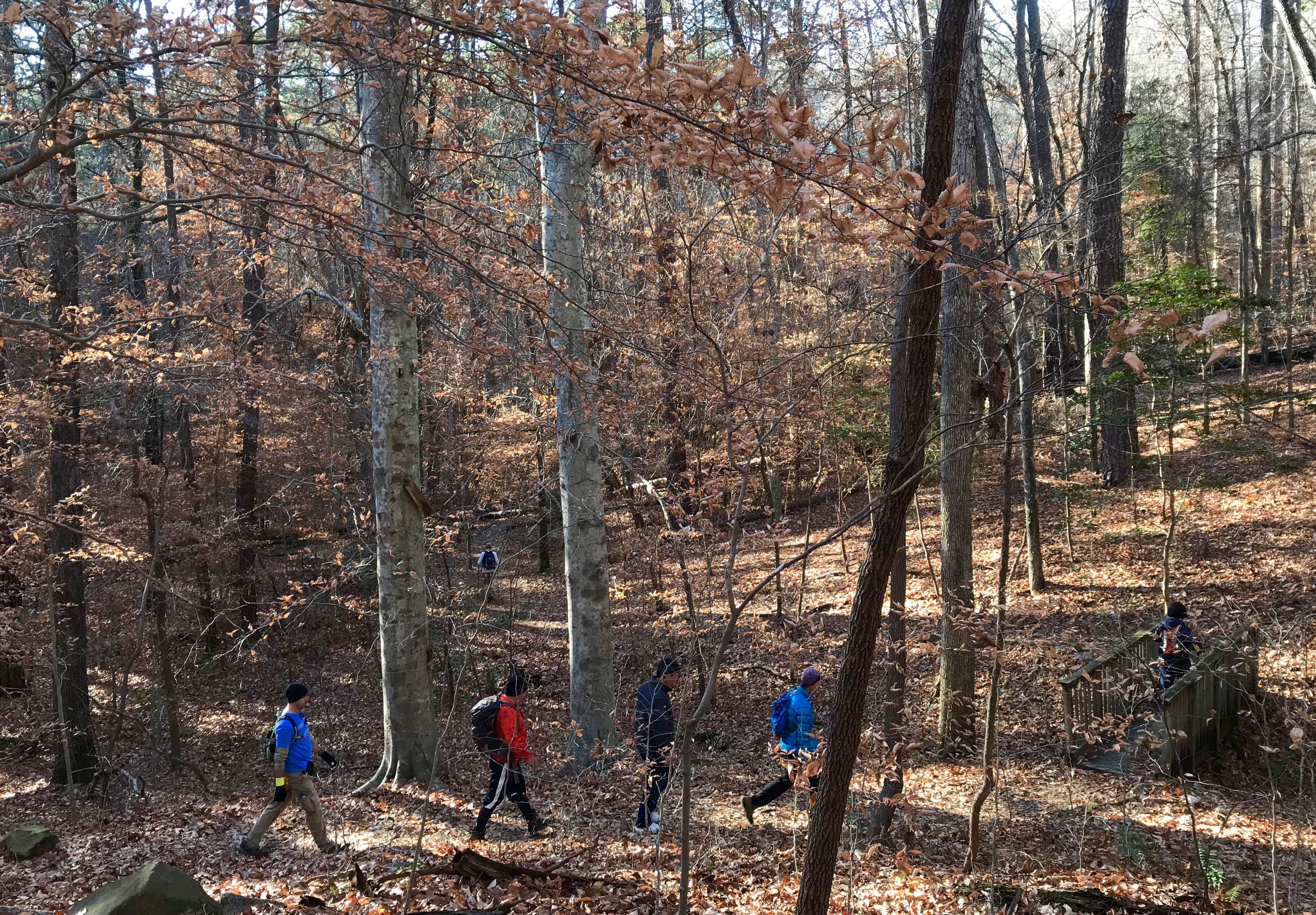
2. Company Mill / Sycamore Figure 8
9 miles
Umstead State Park
Raleigh
Figure 8 loop
This trail gets a lot of tough love from backpackers training for a trip to the high country. It doesn’t have the elevation you’ll find in the Pisgah or Nantahala national forests, but the ongoing ups and downs coupled with the distance give you a good workout and a sense of a long miles carrying weight. It’s also a scenic hike. Starting from the park’s Harrison Avenue entrance, the Company Mill Trail crests three small ridges before crossing Crabtree Creek. There, the trail loops; go left(you’ll be returning on the trail to your right) for a short walk along the river before a gradual climb of a mile or so. Cross the bike & bridle trail for more quick ups-and-downs, before transferring to the Sycamore loop at its namesake creek. More up and down and up and down on this 4-mile loop that reconnects with Company Mill for a return with — you guessed it — more ups and downs.

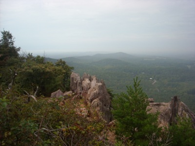
3. Mountain Trail / Ledge Spring Trail / Grindstone Trail
9 miles
Pilot Mountain State Park
Pinnacle
Loop
Experienced hikers tend to shy away from Pilot Mountain in good weather because of the website warning that it can take up to 30 minutes to simply score a parking spot. That, however, is in the main lot, up top. Start from the Pinnacle Hotel Road Access at the base of the mountain and you’ll have your choice of primo spots (and a privy, too!). Start on the Mountain Trail, hiking clockwise, through some mature forest and rock outcrop as you wind your way up the mountain. At the Grindstone Trail, hang a right and then climb, climb, climb to the summit parking area. The Ledge Spring Trail (great views, check out the climbers) returns you to Grindstone, which connects to the Mountain Trail at the ranger office. From there, enjoy a comparatively mellow mile-and-a-half back to the trailhead.
4. Ridgeline Trail / Pinnacle Trail
8.2 miles
Crowders Mountain State Park
Kings Mountain
Point-to-point
One of the advantages here is that on a nice day when the park’s main parking is packed, you can usually find a spot at the remote Boulders Access. From there, take the Ridgeline Trail north over rolling Piedmont terrain to The Pinnacle. Take the spur to the summit, check out the views, return to the Pinnacle Trail and take it to the Sparrow Springs Access and Visitor Center. If you’re feeling especially ambitious, you can return to the Boulders on the Ridgeline Trail, for a roughly 15-mile day. This is a good opportunity to log miles with a weighted pack.
5. Cedar Ridge Trail / Bluff Mountain Trail / Flat Rock Ridge Trail
17 miles
Doughton Park
Roaring Gap
Loop
Our favorite training hike — and yes, it’s technically a mountain hike, located as it is on the face of the Blue Ridge Escarpment. But it’s easily doable in a day from the Triad, Triangle and Charlotte, qualifying it for our purposes. Plus, it’s one of our favorite hikes. If 17 miles seems like too long a distance, consider the layout. You start from the base of the escarpment, from the Long Bottom Road Access, and climb the Cedar Ridge Trail. Cedar Ridge pulls no punches, starting with some challenging switchback climbing. But before you can say uncle, it eases up the remaining ridge to the Bluff Mountain Trail: about 95 percent of your climbing for the day is behind you. Here, go south on the Bluff Mountain Trail (also part of the Mountains-to-Sea Trail), which begins in a hemlock woods, then spends most of its time rolling through scenic mountaintop meadows. Another climb or two awaits before you hit the Flat Rock Ridge Trail, which has one short but steep climb initially, but then is a delightful long downhill back to the trailhead. One of the best circuits you’ll do all year.
* * *
Challenge yourself
We’re planning to do several Challenge hikes this year, hikes that live up to the label of “epic.” We launched our Challenge series earlier this month with a series of training hikes that will help prepare hikers for March 10th’s Five Peaks Challenge at Hanging Rock State Park. We’re also looking at a hike in the Shining Rock area of around 15 miles in June and an end-to-end hike of the 13-mile Black Mountain Crest Trail, from Bowlen Creek to the summit of Mount Mitchell, in July. We’re also looking at a hike in the Slickrock Wilderness area of the Nantahala National Forest in late summer/early fall.
We’ll announce dates for these hikes soon. If you’d like to get on our early notice list (each hike will be limited to 10 participants), drop us a line at joe@getgoingnc.com.
Learn more
Learn more about the trails listed above:
Uwharrie Trail: “Uwharrie Lakes Region Trail Guide,” by Don Childrey (Second Edition, 2014, Earthbound Sports).
Happy trails,
Joe