Category Archives: Adventure

Lost, or turned around?


I used to get lost. Now I just get turned around.

The difference?

I no longer panic when I discover I’m not where I thought I was — or should be. And the reason I no longer panic is because I learned how to use a map and compass.

Let’s get something straight up front: I am no Meriwether Lewis. I’m more a Ponce de Leon: eager to go in search of one thing, only to be distracted by something else. read more

GetOut! your nudge for weekend adventure

A cool front moves over the land this weekend, meaning temperatures in the mid-80s throughout much of our posting area. Some thoughts on how to take advantage of the cool weather:

National Trails Day, Saturday, various events, various times, various locations. Since the early 90s, the first Saturday in June has been deemed by the American Hiking Society to be National Trails Day. It’s a day we officially celebrate the nation’s 200,000+ miles of trail, by exploring them, by tidying them up, even by building them. A total of 24 NTD events have been registered with the American Hiking Society in North Carolina, from maintaining the Mountains-to-Sea Trail in various locations to helping to rehabilitate the Appalachian Trail as it passes over Max Path near Hot Springs. Find an NTD event near you by going here. And if you’re outside North Carolina, find all 876 registered events here. read more

Your goal: Make 2019 a year to remember

On Tuesday’s GetHiking! New Year’s Day hike, I was struck by how many of the hikers had hiking goals—ambitious ones—for 2019. Vaughn committed to five backpack trips in the first half of the year, and Linda was good for at least three. Deb was booked for an adventure in South Africa, and was planning to visit New Zealand. One hiker planned to complete a section hike of the 1,175-mile Mountains-to-Sea Trail.

New Year’s Day is filled with hope, and these folks had already taken a first step toward  seeing that hope become reality. Their secret? They’ve made it a habit over the past several years to make plans early, so they didn’t wind up on December 31 thinking, “Where did the year go?”

For a variety of reasons, not all of us excel at planning ahead. Sometimes, we simply don’t know where to start to plan an adventure. Sometimes, we hesitate because we aren’t sure we’re up for the challenge, and sometimes we pick a challenge that may not be realistic, at least in the way we envision tackling it. Sometimes, we aren’t even sure what it is we want to do. Here are four thoughts on how to make 2019 a year to remember:  

  • What’s realistic? You say you want to spend 50 nights in a tent, but is that feasible? What about your other obligations, your family, for instance? Do you have enough time off from work to get 50 nights in? You can quickly derail a goal by setting it, realizing it’s not possible, then abandoning it altogether. Better to set realistic, but still ambitious, expectations. Start with, say, one night a month in a tent.
  • Where do I want to go? Let’s say one of your goals is to take a weeklong backpack trip. Here are some questions to ask: Where do you want to go? Do you want to go alone? Would you like to go with locals familiar with the area? What season is best? And what specific gear will you need for where you’re going?
  • I want to experience “the best.” Maybe you want to hike the best trails in the state. So, er, what are the best trails? And by “best” do you mean trails with the best views? The best waterfalls? The best old growth forest? Try to define what’s most appealing to you to find your personal best.
  • How do I prepare? Here’s a popular goal: Climbing a fourteener—that is, a peak that tops out at 14,000 feet or above (there are 54 in Colorado, prime country for achieving this goal). So ask: Where can I find trails around here that will prepare me for the elevation gains I’ll face? What about the altitude issue — how do I prepare for that? And what’s a good fourteener to start with?
  • read more

    Scouting an elusive trail

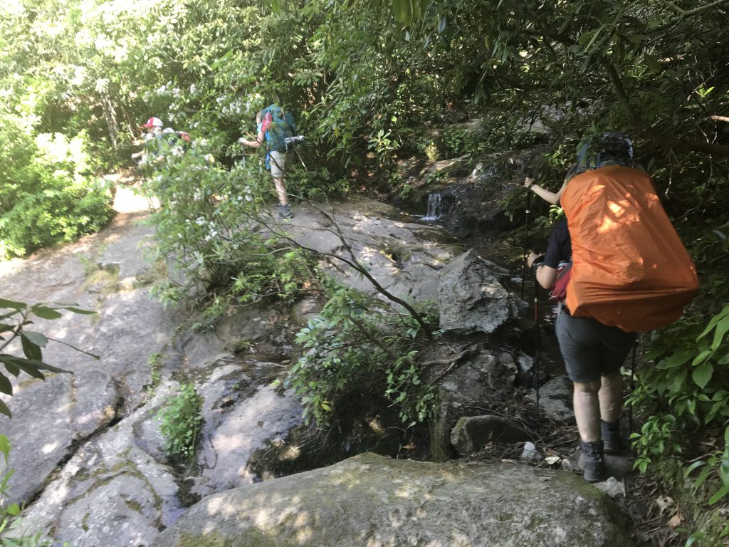
    Today is a scouting day. Of my many tasks as a hiking guide, scouting the trail in advance is among my favorite. If I’m leading on a trail I haven’t hiked in a year or longer, I go out beforehand and hike it. I like to make sure the trail is passable, that a hurricane hasn’t laid a stand of trees across the trail, that recent rain hasn’t turned a key crossing into a Class III rapid, that—in the case of a National Forest—the trail hasn’t been closed for logging or another form of resource development. As a guide, I don’t like surprises when trying to get hikers from Point A to Point B safely.

    For hikes we do in state parks, nature conservancies, municipal parks, the element of surprise is low, even before a scouting trip. Most land managers post trail disruptions on their websites. Even the USDA Forest Service posts advisories on its more heavily traveled trails. Additional pre-hike insight comes from websites such as alltrails.com and hikingupward,com, where hikers sometimes leave comments on recent trail conditions. 

    It’s a different story, though, when you’re hiking the trails less traveled, and the trails that don’t exist at all.

    Scouting off trail

    Trails that aren’t officially trail are what we’re focusing on in a series of Winter Wild hikes. They may start on established trails, but they won’t stay there for long. For the most part, we’ll stick to game trails and long-abandoned wagon tracks to explore the hidden human history and natural gems of the state parks and national forests. Scouting these trails is especially critical to a safe and successful hike. 

    The scouting trip I’m on today is at the coast. I first became aware of the Weetock Trail in early 2006 while researching “100 Classic Hikes in North Carolina” (2007, Mountaineers). Coastal trails being at a premium, I was eager to include what, at 11 miles in length, was the second longest trail at the coast. However, I was unable to find the trailhead, which was somewhere off N.C. 58 between Maysville and Cedar Point. If I couldn’t even find the trailhead, it wasn’t a good candidate for a trail guide aimed at a general hiking audience.

    A few years later, armed with directions, I did find the trailhead (which now had a marker) and had little trouble finding and keeping the trail for the first six miles or so. I passed the gravel road to Haywood Landing after about three and a half miles, as promised. A little while later, I bumped up against the White Oak River, which my map suggested would happen. And I’m pretty sure I had passed the unmarked road leading to Long Point Landing, about six and a half miles in. 

    There was trail, then there wasn’t

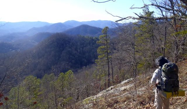
    Then, I emerged from the edge of a pine forest into a long-abandoned farm field, now a sea of unfettered wild grass standing three feet high that gave no clue as to where the Weetock continued. On the far side of the field, where the forest resumed, were several promising openings where the trail might resume. Eventually, I discovered a trail: unmarked, I could only guess that it was the Weetock and not a game trail, not a hunter’s trail. Whether it was or not is hard to say. The forest/field/forest scenario repeated, and this time the existence of a trail was less certain. But I continued, assured by my compass that I was at least headed in the right direction. 

    I hoped that I would stumble across an obvious trail. I never did. Sunlight was becoming an issue, and I was relieved, with dusk settling in, when the woods spit me out on a gravel forest access road. I checked its direction with my compass — northeast — and based on the fact this was only the third access road I had passed, I was pretty sure this road would take me straight back to NC 58 not far from the trailhead.

    The next day, I went to find the southern trailhead, with the idea of hiking in the opposite direction and discovering familiar terrain to discover where I had strayed. Alas, I couldn’t find the southern trailhead, or anything resembling a trailhead. No roadside pullout, much less a “Welcome to the Weetock” trail sign.

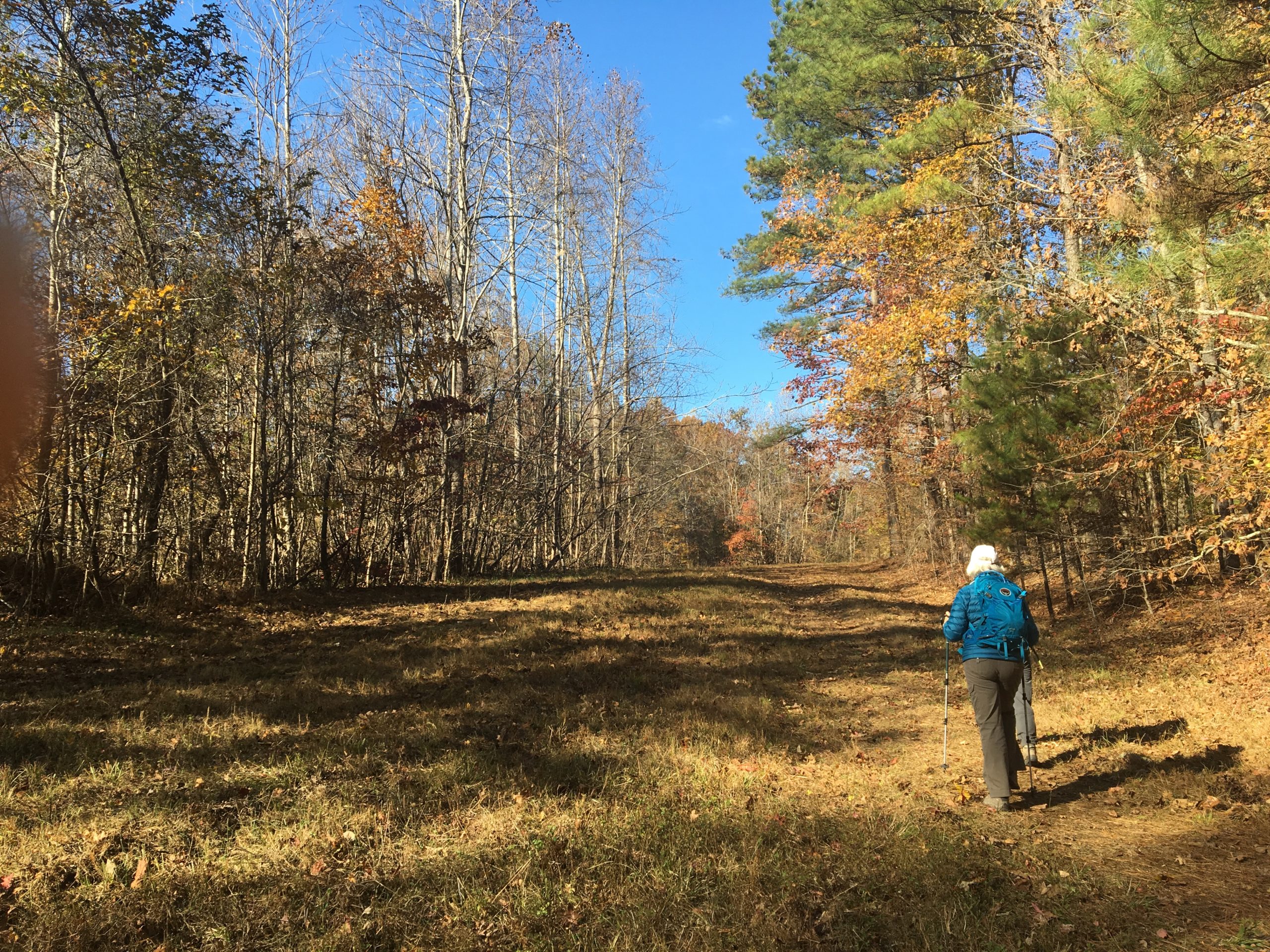
    So today, I try again. I’ve got two paper maps (including the alltrails.com map pictured above). I’ve got updated software on my Garmin GPS and I’ve got Google maps on my iPhone (which has more than once aided my escape from a backwoods wander gone awry). 

    Curious as to how this story turns out? Find out on Dec. 15 when I’ll lead a hike on the 11-mile Weetock Trail. See details below

    Happy trails,

    Joe

    Explore with us off trail 

    GetOriented! Finding Your Way on the Weetock Trail

    The Weetock Trail hike will include tips on way finding and following a trail that isn’t always there. Learn more and sign up here.

    GetHiking! Winter Wild: Exploring Off Trail the Places You Most Love to Hike

    This series of five monthly hikes takes you off trail at the places you only thought you knew: Umstead State Park, Hanging Rock State Park, Eno River State Park, Uwharrie National Forest, Raven Rock State Park. Learn more and sign up here. 

    GetOriented! Finding Your Way in the Woods read more

    Winter: a great time to stray off trail

    Winter is the honest season. Stripped bare of busy ground cover and a blurring canopy, winter is incapable of keeping a secret. Stone foundations from homesteads long abandoned lie exposed. Distant mountain peaks are revealed. Critters have nowhere to hide. It’s the perfect time to be in the woods.

    Especially if you head off the beaten path. 

    Now, there are good reasons why that path is beaten. Not everyone is interested in a more raw form of adventure, fewer still are equipped. Whatever innate navigational skills our species may have had have since been relegated to the recesses of our brains in favor of more modern survival skills. Touch typing with our thumbs, for instance.

    Relegated, maybe, but not deleted. 

    Every year around this time, because the woods become more open and welcoming, we rev up our GetOriented! Finding Your Way in the Woods program. We start with a basic introduction to map and compass and how to use the two in tandem. Then we head down the trail, and off, to match the imagery of wavy topo lines with the reality of a rolling landscape. At some point, those dormant navigational skills are retrieved from deep storage and our students experience an “Aha!” moment. Nothing makes sense, then — well, maybe not everything makes sense, but you can hear the tumblers fall into line. 

    Why is this skill important? 

    Think about a trail you hike on a regular. Your hike may vary by season, it may vary by time of day and by the weather. But you’re still walking along the same stream, climbing the same long hill, passing the same dilapidated tobacco barn and seeing the same view of the lake. Nothing wrong with this familiarity. But haven’t you ever wondered what lies beyond?

    At Eno River State Park in Durham, for instance, the Cox Mountain Trail is a popular hike. It involves crossing a swinging bridge, it follows a rocky stretch of the Eno, and it has some good elevation through a maturing hardwood forest. It all makes for a good hike. Yet when you reach the summit of Cox Mountain, you notice that, to the south, the mountain plateaus for a third of a mile or so before dropping off on three sides. From your park-issued trail map you notice what lies beyond — about 600 acres — is in the park. Since it’s parkland, you figure it’s probably pretty wild (in fact, the tract is known as the Eno Wilderness). The unknown beckons: What’s over there? 

    At Umstead State Park in Raleigh you stand on the bridge spanning Crabtree Creek and look downstream. According to the park map there’s a sizable area that, again, isn’t served by trail but must harbor some hidden treasure, right? (Right: a stand of ancient beech trees, a former Civilian Conservation Corps camp, a short-lived Boy Scout camp.)

    At Hanging Rock State Park you hear tale of a Cessna that crashed on the mountain more than a half century ago. Where? you wonder. And, Would anything be left after more than 50 years?

    Sometimes you need these basic navigation skills just to find the trail. At the coast, in the Croatan National Forest near Maysville you’ll find the Weetock Trail. Well, you’ll find the northern and southern trailheads, both off NC 58, but sometimes finding the 11 miles in between can be a challenge. When blazes abandon you, a map, a compass and a basic understanding of topography can be the difference between a fund day of navigating the woods or an unplanned overnight.

    Most people who take our Finding Your Way in the Woods class do so because they simply don’t like the feeling of getting discombobulated in the outdoors. Almost all leave the class with this goal accomplished. But they also leave intrigued by what lies beyond the confines of the blazed trail, by the treasures, natural and cultural, waiting to be found. They may not be inclined to abandon the trail entirely, but they know that if something does beckon from beyond that they can venture a little ways off the trail and find their way back. Navigational skills come in especially handy in this part of the country, where our state parks and our national forests in particular are criss-crossed with long-abandoned wagon roads and cart paths. Crossing one such path in the woods it’s impossible not to wonder where it leads — and where it once led. 

    Winter’s the ideal time to find out.

    Happy Trails

    Joe

    GetOriented! Finding Your Way in the Woods read more