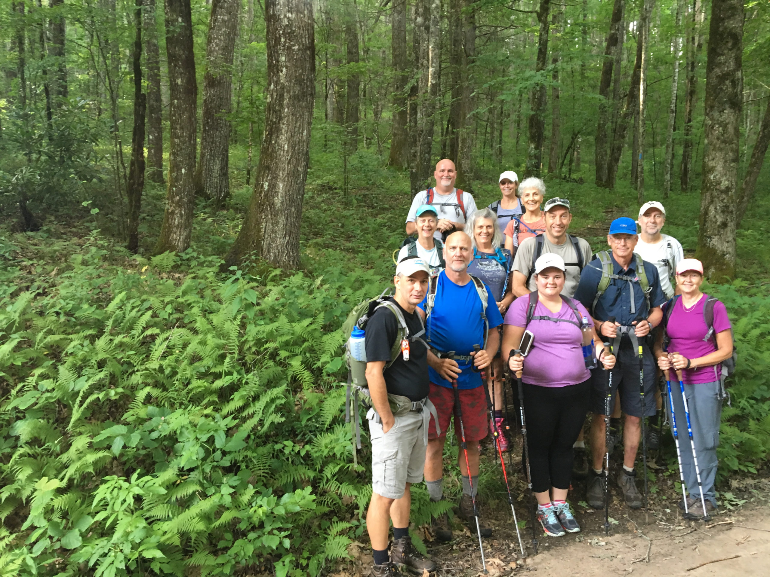


Description
In 2008, I was in the midst of scouting trips for “Backpacking North Carolina: 43 Can’t Miss Trips,” when I headed west of Franklin, N.C., to look into the unlikely prospect of a loop hike consisting almost entirely of the Appalachian Trail. The AT: Isn’t it supposed to head in a straight line from Springer Mountain, Georgia, to Katahdin, Maine?
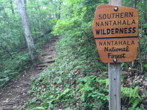
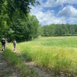
For the most part, yes. But when the AT enters the Standing Indian Basin out of Georgia, it takes advantage of the spectacular oxbow-shaped ridge that defines the basin, a ridge that passes through the Southern Nantahala Wilderness and offers miles of endless views across one of the least-developed regions of the Southeast.
Itinerary
Thursday, April 25. We’ll stay in the Standing Indian Campground, have a fire, have dinner, get to know one another.
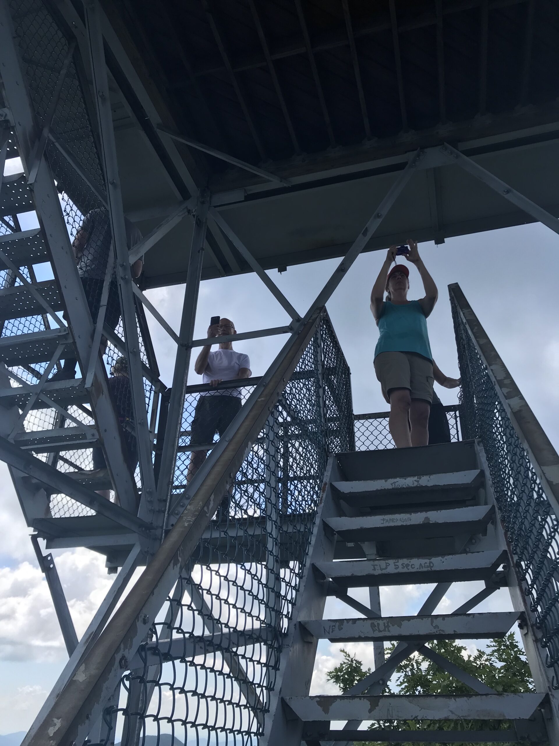
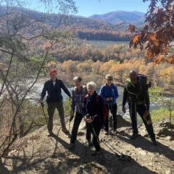
Friday, April 26. One of the beauties of this trip is the climbing, which is some of the most mellow you’ll find with 30 pounds on your back. On Day 1 we’ll hike 5 gently inclined miles up to 5,250-foot Albert Mountain (with great views from a fire tower), then continue on to our campsite for the night, at Betty Creek Gap. Total distance: 7.2 miles.
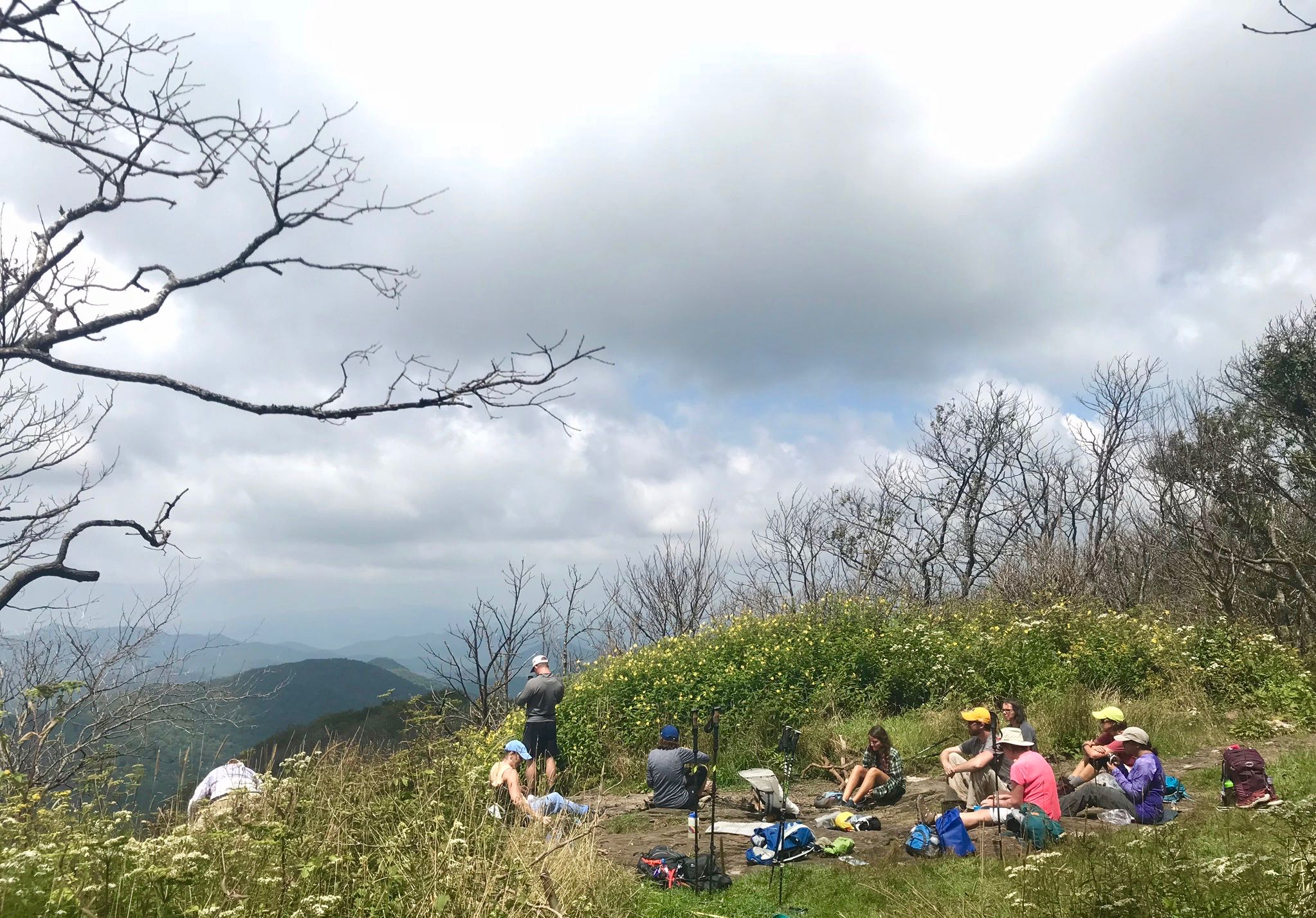
Saturday, April 27. We enjoy a day of undulating ridge hiking, stopping for lunch at Beech Gap, then continuing on to 5,498-foot Standing Indian Mountain. Our camp for the night is just west of the summit. Total distance: 9.4 miles.
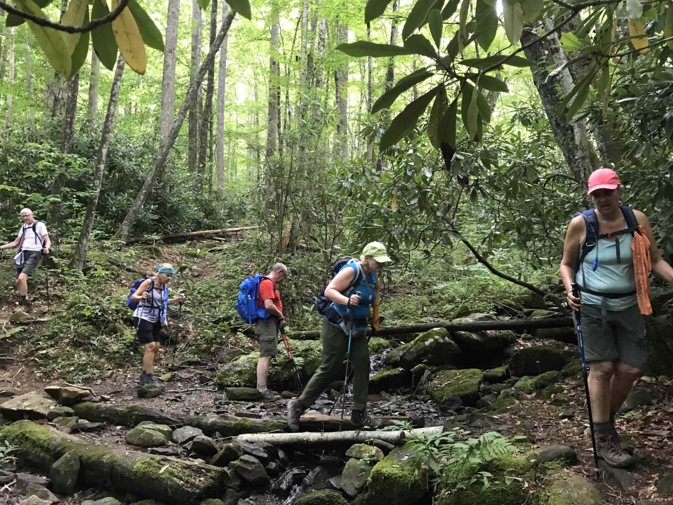
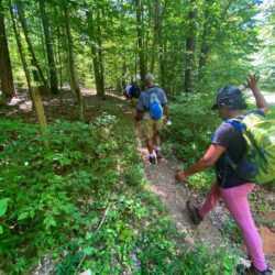
Sunday. April 28. We hike another mile or so on the AT before saying goodbye and heading down the Kimsey Creek Trail along its namesake creek and back to our cars. Total distance: 6.8 miles.
This spring hike will see plenty of wildflowers and temperatures ideal for backpacking. Look for daytime highs in the 60s, overnight lows in the low 40s. If you’re looking to have a more active 2024, this trip is a good start.
Challenge level
This is a 24-mile backpack trip that reaches a peak of 5,498 feet. There is challenging ridgeline hiking in spots, a small amount of scrambling may be required atop Albert Mountain. Generally, though, Day 1 is a relatively friendly ascent that lets you get your legs under you, Day 2 is a series of ups and downs, Day 3’s hike out is downhill. We’ll put the difficulty rating at “Moderate,” based primarily on its length
Included
In addition to the guided trip, you’ll receive:
- Detailed eguide, including an overview of the trip; day-by-day breakdowns, including maps, elevation profiles and route descriptions; general information about Standing Indian and the region. NOTE: An updated guide will be sent upon registration.
- Trip planning meeting via Zoom on Monday, April 22 at 6 p.m.
- Campground camping and kickoff camp fire Thursday evening
For more on this trip, check out Trip No. 27 AT Standing Indian Loop in “Backpacking North Carolina: 43 Can’t-Miss Trips.”

Reviews
There are no reviews yet.