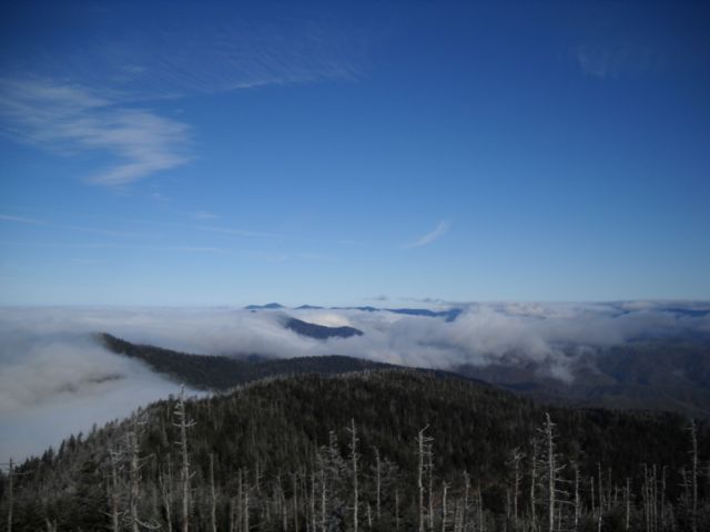
On Saturday’s final hike of our 2018-2019 Winter Wild hike series, we decided to add an extra mile or so. It was a mile of trail I hadn’t hiked.
This past weekend I hiked 4.8 miles on three trails with a combined elevation gain of nearly 4,000 vertical feet. That’s an average grade of about 14 percent.
The crazy thing?
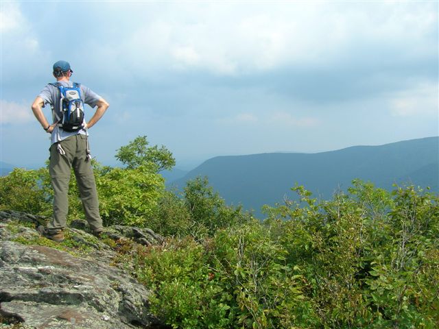
These were trails I’d known about, but had never given much thought to when it comes to training for a trip out West or for alpine adventure abroad. In part, that’s because none of the three are particularly long: Pond Mountain was the clear winner at three and a half miles.
The experience made me realize that there are lots of good options for big mountain training in our Southern Appalachians. Here are a few favorites.
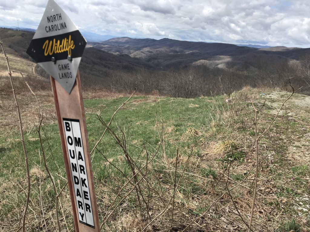
Pond Mountain/Three Top/China Creek-Thunderhole
See locations below
4.8 miles, about 4,000 feet of vertical
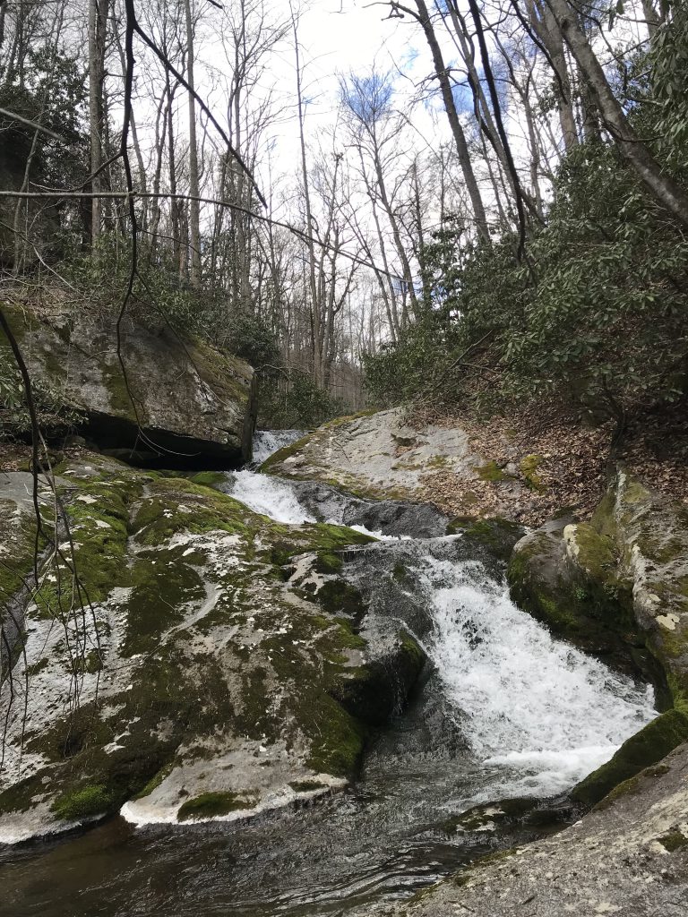
These are the three from my weekend adventure; I’m including them because they can be done in a day, and that 4.8 miles/4,000 feet beats anything on my list. Start with China Creek/Thunderhole in Blowing Rock. I associate the hiking around Blowing Rock — the carriage trails at Moses Cone, the Mountains-to-Sea Trail, the Tanawha Trail — as scenically stunning but not physically challenging. This made the descent down to China Creek all the more impressive. Down, down, down more than 1,320 feet in less than 2 miles, followed by up, up, up on the return. Well-crafted switchbacks take the sting out of this 13 percent average grade climb.
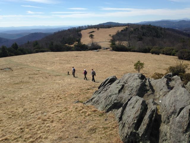
Next, it’s less than an hour to Three Top Mountain, where the trail piggybacks on an old logging road on a no-nonsense beeline to the top: about 1,200 feet of elevation gain in 1.6 miles. From there, it’s a half hour or so up to Pond Mountain near the Virginia Border in Ashe County. Park at the kiosk and hike the gravel road to the summit. You’re entitled — in fact, you’re compelled — to stop frequently along the way because the views get better the higher you go (and they’re pretty great to start): think Mount Rogers. The average grade on the first half of this climb is 14 percent; it mellows to around 8 percent after that.
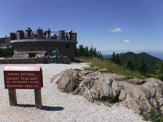
Mount Mitchell Trail
Mount Mitchell State Park
5.5 miles (11 round trip), 3,700 feet of elevation gain
This has long been our go-to hike for mountain training. For one, it’s accessible, with the trailhead at the Black Mountain Campground. It’s challenging throughout, punishing maybe twice, and both times for less than a half mile. And you can’t beat the payoff: you start in a southern hardwood forest and end in a northern boreal forest where the temperature may be 15 degrees cooler.
Doughton Park
Blue Ridge Parkway
4.5-mile climb, 2,400 feet (17-mile roundtrip loop)
While the 18-mile loop we recommend is part of the Blue Ridge Parkway, you don’t start on the parkway. Rather, you begin at the base of the Blue Ridge Escarpment and gain nearly 2,400 vertical feet on the 4.5-mile climb up Cedar Ridge Trail. From there, hang a left on the Bluff Mountain Trail/Mountains-to-Sea Trail, which rolls gently until you reach Bluff Mountain; then, you drop into Grassy Gap and climb back up to Flat Rock Ridge, where one more climb awaits before the Flat Rock Ridge Trail takes you down to your car. About 3,500 feet of elevation gain overall in 14 miles.
Clingmans Dome Approach
Great Smoky Mountains National Park
10 miles (one way), 4,000 vertical feet
For this one, we recommend backpacking up the Noland Creek Trail to campsite 64, establishing base camp, then rising early the next day for the 10-mile assault (and 10-mile return) up the Springhouse Branch and Forney Ridge trails. Another hike where you’ll get to end in a northern boreal forest. We recommend this hike in the winter, when you’ll have Clingmans Dome to yourself, an eerily quiet experience.
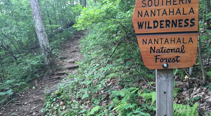
Standing Indian Campground to Standing Indian Mountain
Nantahala National Forest near Franklin
5.5 miles, 2,500 feet
The Standing Indian Campground is a great basecamp for training hikes. The campground sits in a horseshoe-shapped valley rimmed by the ridge-running Appalachian Trail. Numerous trails lead up from the valley, mostly from the Nantahala River, to the AT; our favorite, however, heads up Kimsey Creek to 5,499-foot Standing Indian Mountain, gaining about 2,500 vertical feet in the process.
Happy trails,
Joe
Getting there
Interested in trying the climbs mentioned above? Here’s where to find more information:
- Pond Mountain/Three Top/China Creek-Thunderhole. This threesome was part of a fact-checking mission for a book I’m writing about recreational opportunities on land trust properties in North Carolina. Alas, the book isn’t available yet. But what I can do is email you the specifics on how to find these trails. Email: joe@getgoingnc.com, subject line: Pond Mountain/Three Top/China Creek.
- Mount Mitchell Trail. alltrails.com probably has the best information on this particular hike. Find it here.
- Doughton Park. Check the National Park Service site for Doughton Park for a map and trail descriptions.
- Clingmans Dome Approach. This one is detailed in my “Backpacking North Carolina” (2011, UNC Press), Trip No. 19, page 118.
- Standing Indian Campground to Standing Indian Mountain. Join us in August for a first-hand look at the mountain training opportunities as part of our GetHiking! Classic Escape to Standing Indian and the AT. Three days of hiking, including two ridgeline assaults on on the Appalachian Trail. Learn more here.
Looking for training hikes closer to home? Check out this post from last year.