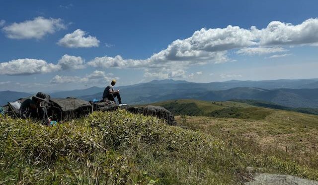
We’ve had two weeks of gorgeous fall weather, which makes a hiker think of just one thing: a hike in the mountains. Alas, that’s not as easy as it’s been in the past.
The mountains of Western North Carolina in particular continue the long road to recovery from Hurricane Helene. But progress is being made: more than 600 roads already have been reopened by N.C. Department of Transportation crews and contractors, including I-40 near Old Fort and in downtown Asheville; I-26 in Henderson and Polk counties; U.S. 221, U.S. 321 and U.S. 421 in the Boone area; and, U.S. 70 and U.S. 25 in Asheville. DOT reports, as of Tuesday, that nearly 600 roads remain closed, and in some areas traffic on roads that are open is restricted to recovery efforts. Also as of Tuesday, about 13,000 residents remained without power.
The good news is that many areas have recovered enough to begin welcoming visitors. And those visitors are crucial to the recovery effort: fall is a key tourist period in the mountains and and the dollars you, as a visiting hiker, bring play a role in the area’s recovery.
Where is it safe — and appropriate — to visit? Some resources to help with your decision:
- VisitNC.com The state’s tourism bureau has created a website that that identifies key mountain communities identified by color: Red communities remain closed to visitors, but you can visit the green ones. Click on the open-for-business communities and you’ll find a link to the local tourism department or chamber of commerce, where you’ll find information on what’s open and the challenges you may face. For instance, the Ashe County Chamber of Commerce site includes an Emergency Fall Leaf Looker’s Route map, which shows roads that are open and includes three “Reminders” that apply to any visit to the mountains this fall:
- Fill up your gas tank before you leave home
- Stick to the main highways listed
- Bring a donation to drop off or volunteer
Also keep in mind that lodging is at a premium; with many rooms currently taken by emergency workers.
You’ll notice on the map that while the central mountains discourage visitors, the far western mountains are more open.
- Virginia is for Lovers The Virginia Travel site offers a one-stop resource page for visiting Southwest Virginia. Check it out here.
- DriveNC.com NC DOT’s road closure site is an essential read before heading to the high country. This is especially true for hikers, for while main roads are beginning to reopen, many of the secondary roads we use to reach remote trailheads are not. This is a mandatory check.
- Pisgah National Forest All of the Pisgah National Forest remains closed. You’ll find a list of locations and closed roads here. Many of our favorite places in North Carolina are on this list.
- Nantahala National Forest The far western part of the state wasn’t as severely hit and that shows by the closures list dated Oct. 11. With a handful of exceptions, the Nantahala is open. Learn more here.
- Appalachian Trail You can find a current rundown of closures here. Basically, the AT through the Pisgah is closed (as of Oct. 15), but it’s open in Tennessee’s Cherokee National Forest. Trouble is, the AT winds in and out of the Pisgah and Cherokee north of the Great Smoky Mountains National Park. In Virginia, the AT is closed to the south but begins to open around Grayson Highlands, with advisories for storm damage and limited emergency services. Find an updated rundown here.
- Great Smoky Mountains National Park. Portions of the park remain closed, including US 441/Newfound Gap Road — but not because of Helene. That road was closed briefly because of forecast snow and ice. Learn more here.
- North Carolina State Parks. All NC State Parks west of I-77 remain closed, and will be at least through the end of October. Details here.
- Virginia State Parks. Portions of the New River Trail and Claytor Lake State Park remain closed; Grayson Highlands State Park has reopened but has certain restrictions. Learn more here.
Important note: Just because a town may be welcoming visitors that doesn’t necessarily mean the nearby trails are open. Aside from the instances indicated above, you’ll need to do additional inquiring for trail specifics.
