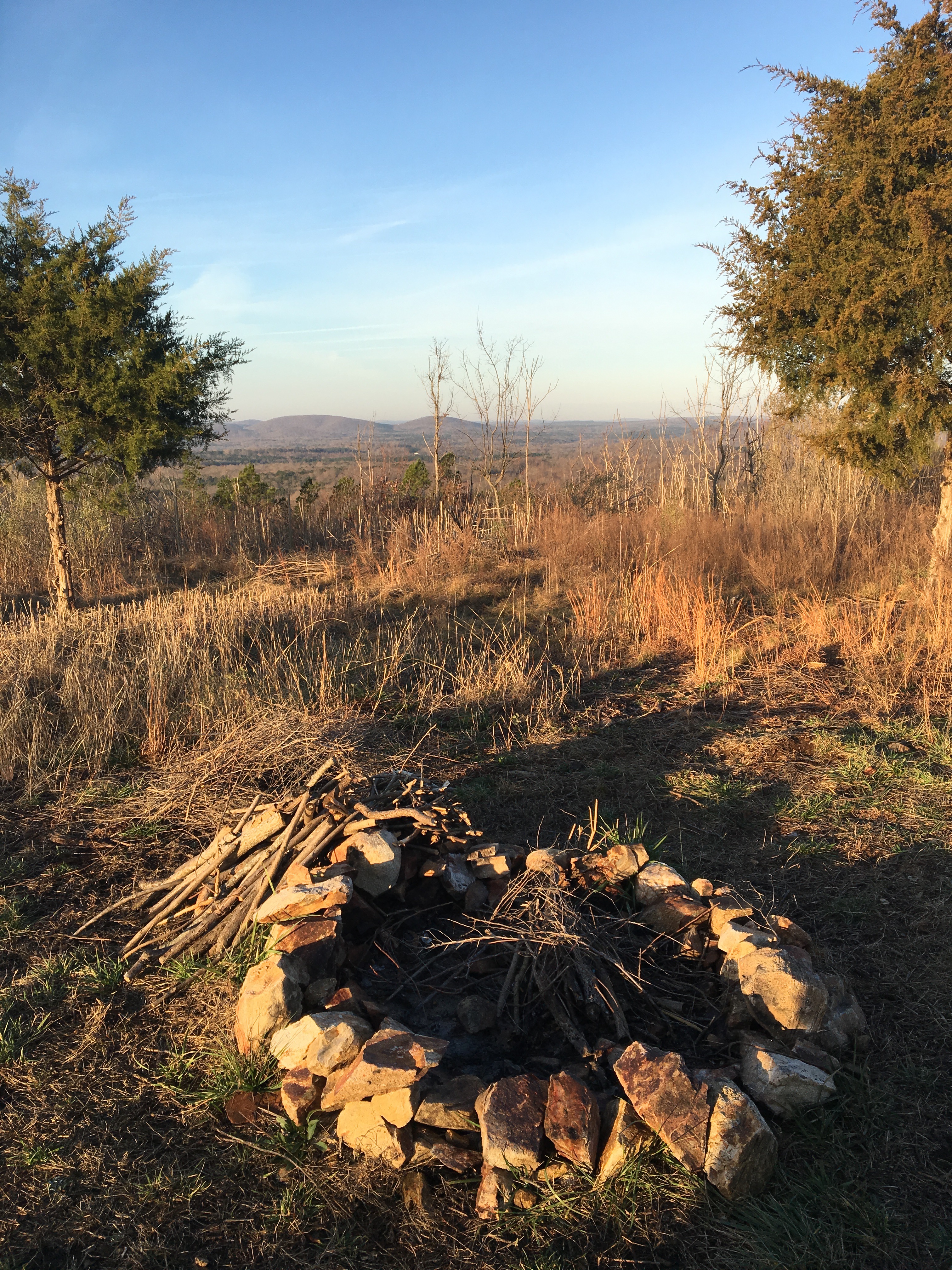
“These mountains are killing me.”
I was glad to hear my new trail friend echo my thoughts. Glad as well to hear him refer to the Uwharries as “these mountains.”
The Uwharries are typically referred to as mountains, though the “mountains” part is often uttered with an implied snicker. As in, They may be mountains in name, but they certainly aren’t the Appalachians.
And they aren’t. But they are surprisingly rugged, surprisingly challenging, and within an hour and a half drive of more than half the population of North Carolina. They are one of several closer-to-home ranges in North Carolina and Virginia that may not offer 6,000-foot summits, but do offer an alpine experience for those occasions when you haven’t the time to hit the “real” thing. The Sauaratowns, bridged by Pilot Mountain and Hanging Rock just north of the Triad; South Mountains south of Morganton; Cane Creek Mountains south of Burlington; the Southwest Mountains around Charlottesville, the Bull Run Mountains of northern Virginia. The mountains were known for the exotic creatures they harboured. The PBR bull riding schedule that I was going to attend later that week reminded me that the bulls featured there were captured from these very mountains and bred in the city. Relic ranges that may have once towered above the present-day Rockies but have long since settled and occupy a more subdued spot in our recreational psyches.
* * *
The Uwharrie Mountains of central North Carolina. The public land portion of the range is contained primary in the 50,000-acre Uwharrie National Forest, with an additional 4,500 acres in adjoining Morrow Mountain State Park. The high point in the chain is 1,188-foot High Rock Mountain; the highest point on the 26-mile Uwharrie Trail is King Mountain, at 1,020 feet. With a low point of around 400 feet above sea level, that’s an elevation difference of about 800 feet, making for good climbing in anyone’s book.
My friend who was being slaid by the Uwharries and I first crossed paths the day before, he hobbling into camp with his 15-year-old son and two friends, me still three hours of hiking from my destination for the night. He and his crew had put in at 1:30 that afternoon; it was now after 5. They had covered just 3.2 miles; they were hoping to reach the Uwharrie Trail’s southern trailhead another 18 miles south in a day and a half — then hike back to where their journey had begin, at the Jumping Off Rock trailhead, by Monday. Forty miles total, in four days, and it had taken them nearly four hours to hike three miles.
On the overnight I was doing, 14 miles from the trailhead at NC 109 north to Pisgah Covered Bridge Road, there were five significant climbs, including two of more than 400 vertical feet in less than a mile and three quarters, and one, up King Mountain, that gained 325 vertical feet in less than three-quarters of a mile. Significantly short of our more impressive Appalachian climbs — say, the 3,700 vertical feet gained in 5.5 miles climbing from the Black Mountain campground to the top of the East Coast, 6,684-foot Mount Mitchell — but challenging none-the-less. Another thing about the Uwharrie Recreation Trail: its elevation profile reads like the EKG of someone about to make a long trip.
* * *
According to Don Children in his “Uwharrie Lakes Region Trail Guide,” there are more than 215 miles of trail in the region, including some mountain bike singletrack. There’s a wilderness section, the 5,550-acre Birkheads on the forest’s northern tip, there’s great paddling, both flat water on Lake Tillery and on the intimate Uwharrie River. Great opportunities for adventure here in the Rodney Dangerfield of local mountains.
Destinations such as the Uwharries and our other lesser mountains are even more attractive in winter. Bitter cold, the threat of snow and ice, the miserly daylight all conspire to dampen our enthusiasm for a romp in the Appalachians. But who doesn’t have time to explore a mountain chain in our own backyard?