Ten years ago, we ran a weekly series of posts called “Hikes You Can Do.” They were hikes across the state, seven in all, that weren’t long (though some included longer options), that weren’t necessarily strenuous (but would still get your heartbeat up), and that just about anybody could do.
We were reminded of the series when we started thinking about the approach of Thanksgiving Day and the desire — make that the “need” — to get out and work off the day’s damage. Not the time to go for a long hike, we realized, but something to get us fresh air, to shake off the tryptophan, and that would at least make a dent in your 3,000-calorie turkey dinner. Not surprisingly, the Hikes You Can Do Series came to mind.
So we revive those hikes today. We give a quick description of the hike, of why it’s well-suited for the occasion, then a link to the original where you can find all the detail you need. Enjoy!
Coast / Coastal Plain
Jones Lake State Park
Elizabethtown
Distance: 4.0 miles
Type of route: Loop.
Why it’s easy and what you’ll see: According to our “100 Classic Hikes in North Carolina,” the trail has a total elevation gain of 3 feet (it all happens within a 10-foot stretch on the lake’s north side where the trail encounters an old irrigation ditch). Part of the trail — through the longleaf pine forest (some interloper pines and understory turkey oaks as well) — is on a sandy forest service road, part — a narrower, packed gravel trail — goes through a dense bay forest rich with sweet gums, loblolly and red bays. And there’s a cypress swamp rimming 224-acre Jones Lake, one of a half million such elliptically shaped lakes peppering the southeastern U.S. It’s unclear how the lakes, which all have a similar footprint, came to be: speculation suggests they’re the result of everything from the combined forces of underground springs, wind and wave action, to a meteor shower millions of years ago that pockmarked the region with shallow divots that subsequently filled with water.
Learn more here.
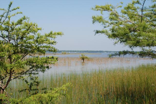
Cedar Point Tideland Trail Loop
Swansboro
Distance: 1.4 miles
Type of route: Loop
Why it’s easy and what you’ll see: This may be the fastest 1.4 miles you ever walk. Or at least the best example of 1.4 miles that’ll go by in a flash. That’s because it penetrates a tidal marsh packed with the all flora you might expect in a lush coastal community. At points, the narrow gravel trail is embraced by wax myrtle, yaupon, sweetgum, red maple, redbay red cedar, live oak and, up above, long leaf pine. Less than halfway in, hiking clockwise, the trail brushes against a coastal forest, the change made possible by an elevation gain of just inches, but enough to weed out the salt and create a different ecosystem. The return trip is mostly on boardwalk that elevates you above Dubling Creek and the marsh, and offers long views across the White Oak River to Swansboro.
Learn more here.
Piedmont
Medoc Mountain State Park
Halifax
Distance: Variable, from .75 miles to 5 miles
Type of route: Loops
Why it’s easy and what you’ll see: Medoc Mountain is on the fringe of the Piedmont, where rolling hills give way to coastal plain. But the hiking reflects both geographic regions, with the trails relatively flat and easy, the landscape pure Piedmont hardwood forest. The park also boasts an unusual human history: Medoc Mountain was the site of a 19th vineyard, one of the first in the nation. Begin your journey at Medoc Mountain on the 0.75-mile Stream Loop, taking on the 1.25-mile Discovery Loop midway. If you’re up for more upon your return, the 3.0-mile Bluff Loop offers some especially nice encounters with Little Fishing Creek, which bisects the park.
Learn more here
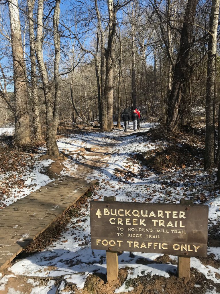
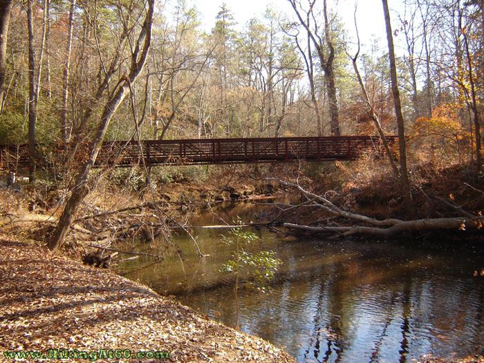
Buckquarter Creek Trail, Eno River State Park
Durham
Distance: 1.5 miles
Type of route: Loop
Why it’s easy and what you’ll see: A $140,000 trail renovation project in 2008 turned a 1,100-foot portion of this once-treacherous trail into an amiable amble. There is the ridgeline to contend with, but it’s a relatively tame trek along an old roadbed (think horse and cart days) to Hillsborough. Not that it matters, but most folks seem to hike the ridge out, the river back. You’ll get a different take on the Eno River Valley on both. If you take the ridge out and, upon reaching the turnaround at Buckquarter Creek, decide a mile and a half won’t be enough, cross the bridge and add the 2.6-mile Holden Mill Trail to the mix. It’s a similar ridge/river loop with perhaps a little more elevation a few less hikers.
Learn more here
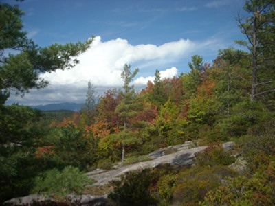
Hanging Rock State Park
Danbury
Distance: 2.6 miles
Type of route: Out-and-back
Why it’s easy and what you’ll see: The trail is short and deceptive at first (it’s paved). But it soon turns to natural surface and does gain some altitude — more than 400 vertical feet. There’s good incentive, though, to reach the top. From the open summit you can see Winston-Salem to the south, the Blue Ridge Mountains to the west and north (into Virginia), and the rolling Piedmont to the east: If it’s not autumn in one direction, it will be in another. If you’re up for more after topping out, return to the parking lot and try the Indian Creek Trail: within a little more than a half mile it treats you to a pair of waterfalls: Hidden and Window.
Learn more here
Mountains
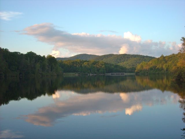
Price Lake
Blue Ridge Parkway near Blowing Rock
Distance: 2.7 miles
Type of route: Loop
Why it’s easy and what you’ll see: There’s virtually no elevation gain on this trail, which hugs the bank around Price Lake, part of Julian Price Park on the Blue Ridge Parkway. Parts of the trail are cozy, tucking under the protective cover of rhododendron tunnels, while other parts snuggle up to the bank offering wide panoramas. A couple of rock outcrops on the lake’s east side offer good opportunities to spread out and soak up the sun. There are several good places to fish on the lake’s west side.
Learn more here
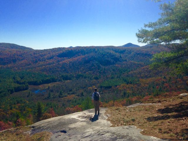
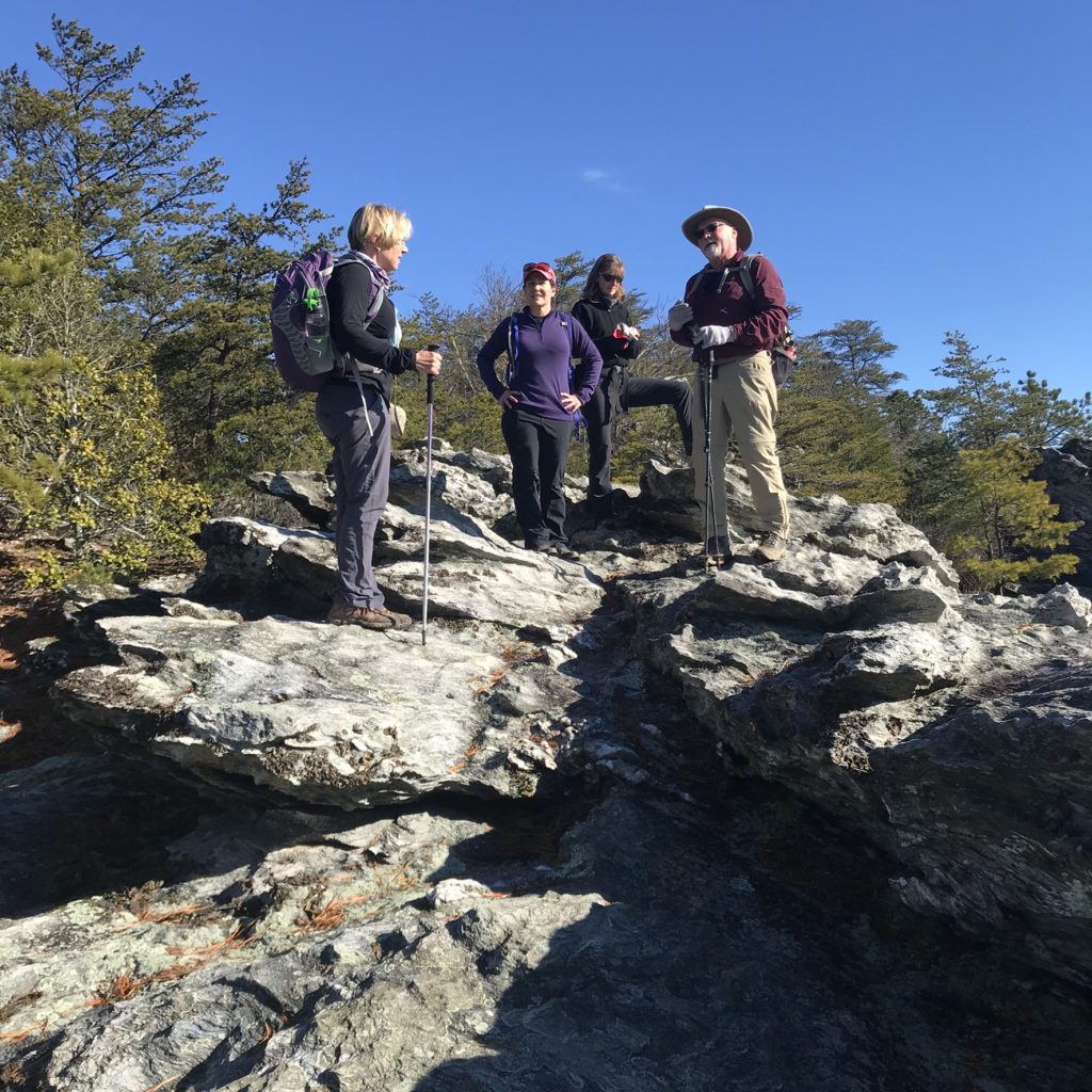
Panthertown Valley loop
Cashiers
Distance: 8 miles, with shorter options
Type of route: Lollipop loop
Why it’s easy and what you’ll see: There’s a relatively gentle half-mile descent to the valley floor from the parking area along an old dirt roadbed. From there, 2.3 miles of flat hiking will take you to Granny Burrell Falls, a long slide down smooth rock into a generous pool, and Schoolhouse Falls, which drops about 20 feet over a rock ledge, also into a good-size pool. If you’re up for a little climbing — about 370 vertical feet in 0.8 miles — Continue from Schoolhouse Falls up to Little Green Mountain, where exposed rock offers great views and good picnic opportunities on a cool fall afternoon. Total distance, trailhead-back-to-trailhead is less than 5 miles for Granny Burrell and Schoolhouse falls, and Little Green Mountain. The 8-mile lollipop loop takes in all of the above and includes a steep climb up 4,206-foot Big Green Mountain (no views, but some nice ridgeline hiking).
Learn more here
Join us
Black Friday Backlash Hike on the Mountains-to-Sea Trail. On the Friday after Thanksgiving, avoid the Black Friday shopping masses and come hike with us! We’ll hike a stretch of the Mountains-to-Sea Trail in North Raleigh, covering about 4.2 miles total. We’ll have trail snacks and we’ll have a drawing for an Osprey day pack — you’ll have a chance to to do take care of the hiker on your shopping list and avoid the mall! Learn more here.