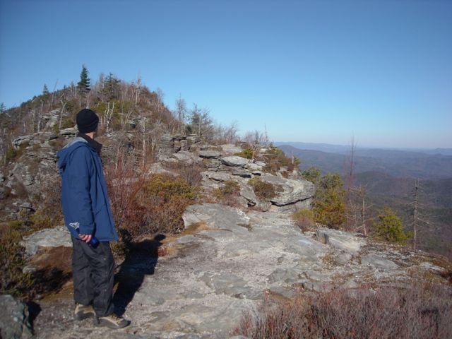
I was talking this week with Jim Grode, Trail Resource Manager for the Mountains-to-Sea Trail about backpacking opportunities on the statewide trail. We started in the coastal plain (Neusiok Trail, Jones Lake/Turnbull Creek area), moved to the Piedmont (six campsites along Falls Lake and the Eno River in the Triangle), and finally, on to the mountains.
“Helene,” he began, “makes this hard to do. Normally, there are lots of options in Segment 4, but in the short- to medium-term, many or all of those are unavailable. Similarly, the NPS backcountry campsites in Segment 5 may be inaccessible for a while.”
He discussed additional challenges posed by last September’s storm, then asked, “Have you seen our Helene Recovery Status Map?”
I have not, I replied, and shortly I found myself on an interactive Google Map seeing the length of the MST in the mountains, from Clingman’s Dome to Stone Mountain State Park portrayed in Red (still closed), Yellow (officially open, but “not assessed or cleared,” and Green (open). There wasn’t a lot of trail represented by green, but more than I expected.
That got me to thinking about several inquiries I’d had over the past couple months about what trails were and were not open as a result of Helene. The MST map was a great resource, I thought, surely there must be more. And there are, I quickly discovered.
Below are sources for finding the latest status of most mountain trails affected by Helene. Most have been recently updated. They should be especially helpful as the spring hiking season approaches.
- Appalachian Trail Conservancy. This page, most recently updated on Feb. 12, includes trail updates in Georgia, North Carolina, Tennessee and Virginia.
- Mountains-to-Sea Trail Helene Recovery Status Map. As mentioned above, this interactive Google Map shows open trails in green and yellow, closed trail in red.
- G-5 Trail Collective. This non-profit trail program operated by Camp Grier includes both a listing of open trails and an interactive map of open and closed trail in the Grandfather District of the Pisgah National Forest.
- Pisgah National Forest. Find trail status in the national forest’s Pisgah, Grandfather, and Appalachian districts here.
- Nantahala National Forest. This national forest in far-western North Carolina was much less affected by Helene than the Pisgah. Find trail closures here.
- Blue Ridge Parkway. This National Park Service site covers status of the 469-mile parkway through Virginia and North Carolina, and not necessarily the status of the more than 100 trails along its path.
- Great Smoky Mountains National Park. Includes a rundown of all the trails that remain closed.
- North Carolina State Parks — Unfortunately, there’s no longer a message atop the parks’ website advising which parks remain closed. Thus, you need to sort through park by park. To save you the time, the following parks remain closed:
- Mount Mitchell State Park: Remains “under long-term closure until further notice.”
- South Mountains State Park: Remains “under long-term closure until further notice.”
In addition:
-
- Chimney Rock State Park: The Rumbling Bald access has reopened for hiking and for “individual climbs.”
- Grandfather Mountain State Park: Profile parking area, Profile Trail and connector trail remain closed.
- Lake James State Park: Parts of this park remain closed.
- New River State Park: The US 221 Access has reopened, most of the rest of the park remains closed.
Land conservancy trails
Several land conservancies in the high county have land with trails. Click the link to check on their status:
- Blue Ridge Conservancy (active in the northern mountains)
- Conserving Carolina (Lake Lure/Hickory Nut Gorge area)
- Foothills Conservancy (foothills and Blue Ridge Mountains)
- Mainspring Conservation Trust (southern Blue Ridge)
- MountainTrue (Asheville and west)