Empowerment. It’s what we’ve been about since we led our first GetHiking! hike back in 2013. Empowering people through hikes and classes to feel more comfortable and more confident in the wild (or what seems like “the wild” when you first get started).
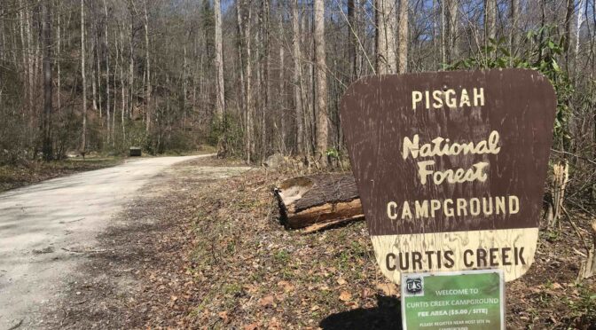
Today, we take an overdue look at how to get the most out of your National Forest adventures by getting familiar with their websites, starting with the fact that National Forest home pages are broken down by state, not specific forest. For the Pisgah National Forest, for instance, you’ll start on the North Carolina National Forest page (likewise for the Croatan, Nantahala and Uwharrie national forests). In Virginia, you’ll find the George Washington and Jefferson National Forests on the Virginia page.
Our look at the National Forests is overdue because of all the playgrounds we have at our disposal in the Southeast, National Forests are far and away the biggest. In North Carolina, South Carolina, Tennessee and Virginia, there are a combined 4.2 million acres of National Forest Service land alone. That compares with about 570,000 acres of State Park land. That’s why it’s important that you know what’s going on in your local National Forest, where so many of our trips occur.
Before you take that camping trip …
Let’s say you’re planning a weekend camping trip. A quick visit to the News & Events page of your local National Forest website will reveal all sorts of helpful information, including:
- Latest COVID-19 information and what facilities are open and closed as a result of the pandemic.
- Fire danger. That group camping trip? I dunno about you, but and a campfire — winter, spring, summer or fall — is a vital part of the group camping experience. Check beforehand to make sure the fire danger isn’t high — and that you are allowed to have a fire — before heading out. This is especially important for winter trips, when a fire not only helps ward off below-freezing temps, but makes it possible to stay up past a 4:30 p.m. sunset.
- Closures: For instance, in Virginia, if you’re planning a hike to Spy Rock from from the Montebello Fish Hatchery, you better think again! That trail and parking lot are closed as of Dec. 18 and will be until April 30. There is, however, an alternate route to Spy Rock which you can find on the site. Over on the Tennessee page you would learn that Unaka Mountain Road is closed due to winter weather, which could affect a visit to the Unaka Mountain Recreation Area.
- Map information. Maps! Maps! Maps! Don’t even think about heading out into the wild — even the semi-wild — without a map. Each site will have map recommendations, including the best online app maps for the forest. The Virginia National Forest site, for instance, directs you to Avenza for map app coverage of their forests.
- Alerts & Notices. This category covers some of the above plus a vital bit of information for campers and backpackers: where bears have been active. Checking on the latter, for instance, can tell you whether a bear canister is required in certain areas for backpacking. Or whether a camping area has been closed because of bear activity. One helpful feature you’ll find for the Francis Marion and Sumter National Forests in South Carolina is a compilation of current conditions at both national forests’ recreation areas. For instance, it is here that you would learn that the Parsons Mountain Recreation Area is closed and will not reopen until May 1, 2021. You can then scan up and down to check your Recreation Area options.
It’s closed … and where is it?
Checking these websites is not only prudent before taking a trip — a trip that could be torpedoed because the access road is snowed in or the campsite is closed — but it can also prove a productive rabbit hole, providing a way to discover new places to explore. That Unaka Road Closure notice from the Cherokee National Forest site, for instance, made me wonder where Unaka Road is and what impact it might have on an adventurous type. So I Googled it and discovered it fed something called the Unaka Mountain Recreation Area, which I discovered abutted North Carolina, my home state. I plugged Unaka Mountain Recreation Area into AllTrails and discovered five trails, several of which would be worth the four-hour drive. Great information considering my 2021 dance card is filling fast.
So, two good reasons to check out your National Forest Service websites. One, to make sure the hike you want to take is a hike you can take. And two, the sites can help you find places to explore that you didn’t know were there.
The Unaka Mountains, for instance, where we’re planning to visit this spring. After, that is, we check to make sure Unaka Mountain Road has reopened.
* * *
USFS News & Events
Click the following links to visit the News & Alerts pages for the following Southeast U.S. National Forest Service locations.
- North Carolina National Forests: Croatan, Pisgah, Nantahala, Uwharrie
- Virginia National Forests: George Washington, Jefferson
- Tennessee National Forest: Cherokee
- South Carolina: Francis Marion, Sumter National Forests
GetHiking! Southeast Podcast
 Among other things on this week’s GetHiking! Southeast Podcast we discuss using the resources of the National Forest Service websites to help you plan your trips. Give a listen here.