The following post originally appeared Dec. 12, 2016. We rerun it today, with a tweak or two, because it expresses our appreciation of the season that lies ahead.
Winter’s skies are milky, indifferent. Its landscape monochromatic, a wash of grays and browns. Its weather harsh at times. And Lord knows the season is stingy with sunlight. The stuff of travel & tourism ad campaigns winter is not.read more
I woke up earlier than usual Tuesday morning and didn’t realize it until later. I was well into my morning routine before I happened to notice a clock.
6:10? Why am I awake at 6:10?
I looked out the living room window and saw why: the sky was already light, a glowing light even though sunrise was a good 45 minutes off. Even official twilight was a few minutes away. Yet it was already light out.read more
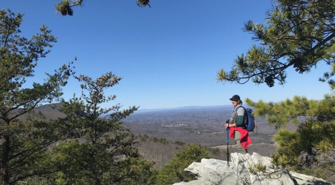
In the early 1980s I lived in Loveland, Colo. On weekends, I would drive up U.S. 34 along the Big Thompson River toward Estes Park, into the Arapaho & Roosevelt National Forest. I would typically stop well short of Estes, sometimes not even making it to the tiny crossroads of Drake. I’d find a roadside pullout, get out and start hiking: there didn’t need to be a trail, as long as the terrain was passible. It wouldn’t be long, scrambling up the steep canyon walls, before I’d start fantasizing that I might be the first person to have ever made it to the ridge above. Hey, I was in my 20s. What did I know?read more
We’re ready for spring, so we can get outside even more often. We bet you’re ready, too.
What say we get together and do a little exploring? Here are some of the adventures we have planned for spring.
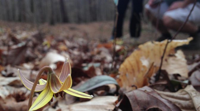
Winter Wild Off-Trail Adventures
This series of off-trail adventures started in winter but it’s trickling over into spring — in part, because weather caused a postponement or two. It’s also because we’ve had such a blast on these hikes — a portion of which are on official trail, most of which aren’t — that we decided to extend the program through March. Still to come:read more