Tag Archives: Virginia

Mountain campgrounds begin to reopen

Wondering when your favorite seasonal campground or roadside attraction in the National Parks will reopen? We have some dates:

Blue Ridge Parkway

Campgrounds

  • Price Park Campground at MP 297: April 2-Oct. 31
  • Linville Falls at MP 314: April 2-Oct. 31
  • Crabtree Falls at MP 339: May 28-Oct. 31
  • Mount Pisgah at MP 408.8: May 28-Oct. 31

Other facilities

  • Moses Cone Manor House at MP 294: April 15
  • Linville Falls at MP 316: April 30.
  • N. Museum of Minerals at MP 330: Friday, Saturday, Sunday, 10 a.m.-4 p.m. through April.
  • Craggy Gardens at MP 364.5: 10 a.m.-4 p.m. starting April 17.
  • Waterrock Knob at MP 451: 10 a.m.-4 p.m. starting April 17.

Shenandoah National Park

Campgrounds:

  • March 25: Lewis Mountain Campground (mile 57.5)
  • March 26: Big Meadows Campground (mile 51.2)
  • May 5: Mathews Arm Campground (mile 22.2), Loft Mountain Campground (mile 79.5), and Dundo Group Campground (mile 83.7)
  • Picnic Grounds will open on the following schedule:
  • March 25: Lewis Mountain Picnic Grounds (mile 57.5)
  • March 26: Big Meadows Picnic Grounds (mile 51.2)
  • Open year round: Dickey Ridge Picnic Grounds (mile 4.7), Elkwallow Picnic Grounds (mile 24.1), Pinnacles Picnic Grounds (mile 36.7), South River Picnic Grounds (mile 62.8), and Dundo Picnic Grounds (mile 83.7)

Other facilities:

  • Dickey Ridge Visitor Center (mile 4.6 Skyline Drive): open Fridays through Tuesdays, 9 a.m. – 5 p.m. (closed on Wednesdays and Thursdays), No indoor exhibits or films.
  • Byrd Visitor Center (mile 51 Skyline Drive)
  • Open 7 days a week, 9:00 a.m. – 5:00 p.m., No indoor exhibits or films.

The restaurants, lodges, and associated facilities operated by the park concessioner, Delaware North, open as follows: read more
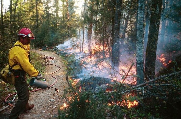
A heads-up on forest service prescribed burns

Over the past week, the U.S. Forest Service has announced plans for numerous prescribed burns in North Carolina, Virginia and Tennessee. We share this information for two reasons:

1. Prescribed burns: what and why?

According to the Forest Service, “Prescribed burning is an important and versatile forest management tool that can mimic natural fire disturbances and reduce underbrush and flammable vegetation, which is key to limiting wildfire risk.” Before we started building vacation homes and resorts in the mountains, fire was allowed to run its natural course and do its thing. Now, for instance, when lightening strikes and ignites a fire, the reaction is to snuff it out immediately, lest it damage nearby developments. The most obvious ramification of this practice is that downfall accumulates and provides a dangerous source of fuel for what can evolve into a quickly spreading inferno.  read more

Before State Parks were open to all

When I moved to the Raleigh area at the beginning of 1992, I spent a lot of time at Umstead State Park. It was a 10-minute drive, you could hike and mountain bike, and, lucky me, I happened to live on what I considered to be the most interesting side of the park, the Reedy Creek side, off I-40. Access to the mountain bike/equestrian trails was easier, you could pick up two long trails from the parking lot, even the physical facilities — the picnic shelters, the restrooms — seemed more inviting.  read more

An early Head’s up for National Trails Day

When National Trails Day got its start in the early 1990s, it was gauged by the number of events and participants. 

And today? 

“Media impressions,” of which there were more than 900 million in 2018.

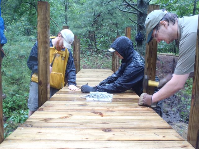
For the past 25 years, the American Hiking Society has decreed the first Saturday in June to be National Trails Day, a day of celebration for our beloved hiking, biking and equestrian trails. Events around the country celebrate by holding trail workdays, hikes and various celebratory events. It’s a great opportunity to get out and let your local trails know how much you appreciate them. read more

Post Hurricane Florence: What’s open, what’s not?

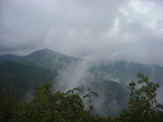
A moody Graybeard Mountain.

We’re all wondering the same thing: are my favorite places to explore open post Hurricane Florence?

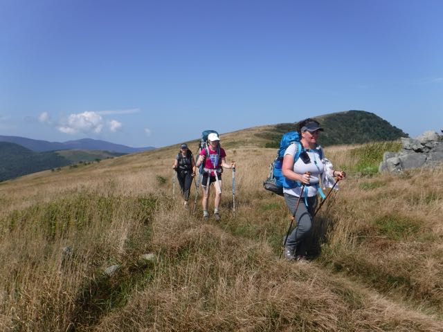
Here’s a look at what I’ve found for our upcoming GetHiking! and GetBackpacking! adventures. Hopefully, my sleuthing can help you in figuring out your own upcoming adventure plans.

=&0=&

When: This weekend

What we learned: I wasn’t worried about the trail being flooded: it begins above 6,000 feet and stays high for much of its 13.7-mile run. Still, my first check was with the Appalachian Trail Conservancy website, whose Trail Updates page is a complete rundown of current closings, reroutings and other issues that may affect your hike. The North Carolina section (updates are broken down by state) listed no specific advisory for this stretch, though it did advise caution in general for downed trees and hanging limbs as a result of the storm. Of greater concern were the roads getting to the trailhead: Florence dropped some wet on the mountains, and landslides had been reported. But not on the roads we take, according to the N.C. Department of Transportation’s Travel Information page and its interactive map.

Status: It’s a go

=&1=&

When: This weekend

What we learned: Virginia closed all of its State Parks in preparation for Florence, but all have now reopened, including Grayson Highlands. A look at the Grayson Highlands State Park page shows that only one park facility is closed, and it isn’t our group campsite. As for the Mount Rogers end of the trip, the USDA Forest Service site for both George Washington and Jefferson National Forests reported that all recreation areas were closed. That, though, from a post dated Sept. 12, before the storm. A call to the “customer service desk” for both forests indicated it might be faster to leave a message than to wait for a representative. It was also unclear whether the Virginia Creeper Trail, also part of the trip, was open.

Status: On hold, likely to postpone

=&2=&

When: Weekend of Sept. 28-30

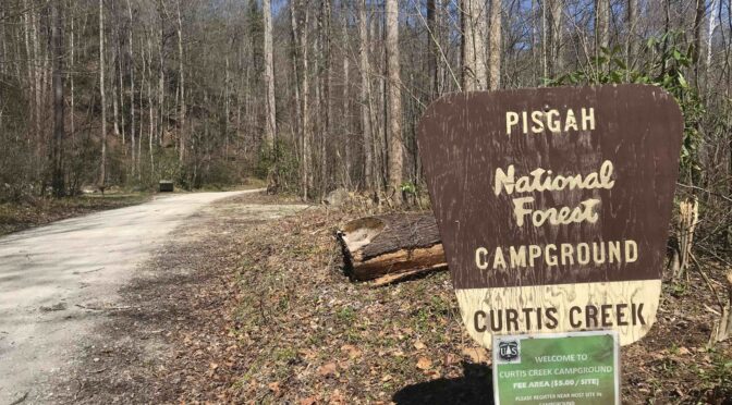
What we learned: Curtis Creek is in the Pisgah National Forest. (In fact, it was the first tract of land in the Pisgah, back in 1913). It’s in a particularly narrow valley that descends from the Black Mountains to the Piedmont, and thus seems especially vulnerable to flooding. And while it, along with the rest of the Pisgah, was closed prior to Florence, it has reopened. Graybeard Mountain is rather unique in that it is part of the Montreat Conference Center’s 2,500-acre Montreat Wilderness. It remains open to hiking as well, according to the website.

Status: It’s a go.

=&3=&